................0...............

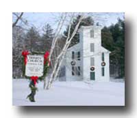
Heritage Trails Any day's a good day for a Sunday drive.
These itineraries will take you through some of the
Connecticut River Valley's most scenic countryside
and historic villages, highlighting the region's
rich inventory of National Register historic
sites. Follow a 77-mile motoring--or
bicycling-- heritage
trail through Claremont, Cornish &
Plainfield, New Hampshire, and Windsor
& Hartland, Vermont. |
|||
|
Other itineraries explore historic river communities from Orford/Fairlee to the Massachusetts border. |
 |
||
|
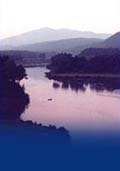
The Connecticut River--New England's longest--separates New Hampshire from Vermont and today, as in the distant past, is perhaps the most significant defining feature of the two neighbor states. This is particularly so when it comes to historical and cultural development. The pace, direction and characteristics of settlement and change have always been inextricably linked to the river that the native population called Kwenitekw or Quinatucquet or similar names meaning Great or Long River. Until the building of the turnpikes in the early 1800s and the railroads in the mid 1800s, the river provided the chief transportation route for goods, settlers and ideas, and explains why the early development of western New Hampshire and eastern Vermont has so much of its origins in Connecticut. Navigation was not an easy task, particularly along the upper reaches of the river. Canals were built as a result. In 1802, the canal at Bellows Falls was opened, followed by others at Hartland and Wilder. Although it was a maritime highway, the Connecticut was also a barrier to east-west travel. Ferries were numerous along the river's length, but the first bridge to cross it wasn't built until 1792, at Bellows Falls. |
|||
